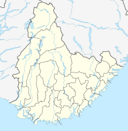
Homstølvatnet
 From Wikipedia the free encyclopedia
| Homstølvatnet | |
|---|---|
| Eptevatn | |
| Location | Froland, Agder |
| Coordinates | 58°41′34″N 08°00′35″E / 58.69278°N 8.00972°E |
| Basin countries | Norway |
| First flooded | 1973 |
| Max. length | 4.7 kilometres (2.9 mi) |
| Max. width | 1.8 kilometres (1.1 mi) |
| Surface area | 3.92 km2 (1.51 sq mi) |
| Water volume | 44 cubic megametres (3.6×10¹⁶ acre⋅ft) |
| Surface elevation | 350 metres (1,150 ft) |
| References | NVE |
Homstølvatnet or Eptevatn is a lake in the far western part of the municipality of Froland in Agder county, Norway. It is located about 12 kilometres (7.5 mi) east of the village of Byglandsfjord (in Bygland municipality) and about 16 kilometres (9.9 mi) northwest of the village of Mykland in Froland. The lake was expanded in 1973 when a dam was built at the south end of the lake Eptevatn for the purposes of hydroelectric power generation. The dam made the lake larger so that it now includes the formerly separate lake Homstølvatnet as one large lake. The lake is now 3.92-square-kilometre (1.51 sq mi) large and it holds about 44 cubic megametres (3.6×10¹⁶ acre⋅ft) as a reservoir for the power station.[1]

