Fichier:Mobile Alabama harbor aerial view.jpg

Taille de cet aperçu : 800 × 533 pixels. Autres résolutions : 320 × 213 pixels | 640 × 426 pixels | 1 024 × 682 pixels | 1 500 × 999 pixels.
Fichier d’origine (1 500 × 999 pixels, taille du fichier : 664 kio, type MIME : image/jpeg)
Ce fichier et sa description proviennent de Wikimedia Commons.
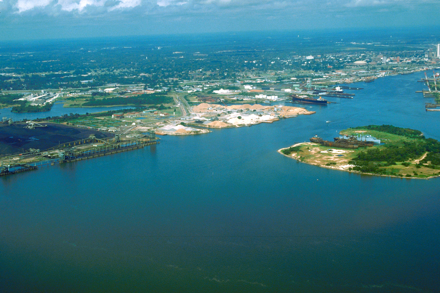
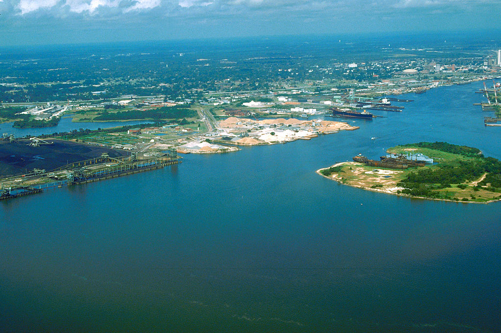
| Description | English: Aerial view of the port and city of Mobile, Alabama, USA. The view is from the harbor on Mobile Bay to the northwest over the central area of the city. | |||
| Lieu | Mobile, Alabama, USA 30°39′47.39″N 88°1′59.79″W / 30.6631639°N 88.033275°W | |||
| Date | (Caution: Dates provided by U.S. Army Corps of Engineers web pages are not reliable and are often wrong.) | |||
| Source | U.S. Army Corps of Engineers Digital Visual Library Image page Image description page Digital Visual Library home page | |||
| Auteur | Adrien Lamarre, U.S. Army Corps of Engineers | |||
| Autorisation (Réutilisation de ce fichier) |
|
Historique du fichier
Cliquer sur une date et heure pour voir le fichier tel qu'il était à ce moment-là.
| Date et heure | Vignette | Dimensions | Utilisateur | Commentaire | |
|---|---|---|---|---|---|
| actuel | 25 avril 2007 à 03:30 | | 1 500 × 999 (664 kio) | DanMS | {{Information2 | Description = {{en|Aerial view of the port and city of Mobile, Alabama, USA. The view is from the harbor on Mobile Bay to the northwest over the central area of the city.}} | Source = U.S. Army Corps of Engineers Digital Visual |
Utilisation du fichier
La page suivante utilise ce fichier :
Usage global du fichier
Les autres wikis suivants utilisent ce fichier :
- Utilisation sur bo.wikipedia.org
- Utilisation sur el.wikipedia.org
- Utilisation sur en.wikipedia.org
- Utilisation sur es.wikipedia.org
- Utilisation sur eu.wikipedia.org
- Utilisation sur fa.wikipedia.org
- Utilisation sur hsb.wikipedia.org
- Utilisation sur ja.wikipedia.org
- Utilisation sur mk.wikipedia.org
- Utilisation sur nl.wikipedia.org
- Utilisation sur pl.wikipedia.org
- Utilisation sur ru.wikipedia.org
- Utilisation sur tr.wikipedia.org
- Utilisation sur www.wikidata.org
- Utilisation sur zh.wikipedia.org