پرونده:Austria adm location map.svg


پروندهٔ اصلی (پروندهٔ اسویجی، با ابعاد ۱٬۲۵۶ × ۷۰۰ پیکسل، اندازهٔ پرونده: ۱۸۳ کیلوبایت)
این پرونده در ویکیانبار موجود است. محتویات صفحهٔ توصیف آن در زیر نمایش داده میشود. |
خلاصه
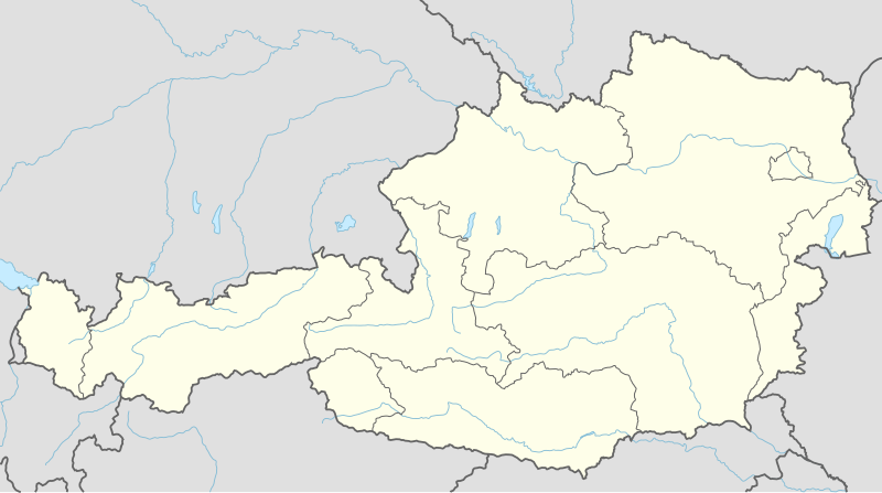
| توضیح | Deutsch: Positionskarte von Österreich English: Location map of Austria
| ||||||||||||
| تاریخ | |||||||||||||
| منبع | Own work using:
| ||||||||||||
| پدیدآور | NordNordWest | ||||||||||||
| SVG genesis | کد مبدأ این پروندهٔ گرافیک برداری مقیاسپذیر، معتبر. این نقشهٔ جهان با Inkscape ساخته شده است.
| ||||||||||||

اجازهنامه
Usage of this file with:

explanatory notes: Legally binding is only the full legalcode. For a free usage I recommend to respect the following licence conditions:
1. Provide my name as given above: NordNordWest,
2. a copy of, or the URI for, the applicable license: https://creativecommons.org/licenses/by-sa/3.0/de/legalcode,
3. the title of the work,
4. in the case of an adaptation, a credit identifying the use of the work in the adaptation.
This license and the rights granted hereunder will terminate automatically upon any breach by you of the terms of this license. Any of the above conditions can be waived if you get permission from the copyright holder. If you have questions or wish differing conditions, please contact me through nnwest or my discussion page ![]() t-online.de
t-online.de
- شما اجازه دارید:
- برای به اشتراک گذاشتن – برای کپی، توزیع و انتقال اثر
- تلفیق کردن – برای انطباق اثر
- تحت شرایط زیر:
- انتساب – شما باید اعتبار مربوطه را به دست آورید، پیوندی به مجوز ارائه دهید و نشان دهید که آیا تغییرات ایجاد شدهاند یا خیر. شما ممکن است این کار را به هر روش منطقی انجام دهید، اما نه به هر شیوهای که پیشنهاد میکند که مجوزدهنده از شما یا استفادهتان حمایت کند.
- انتشار مشابه – اگر این اثر را تلفیق یا تبدیل میکنید، یا بر پایه آن اثری دیگر خلق میکنید، میبایست مشارکتهای خود را تحت مجوز یکسان یا مشابه با ا اصل آن توزیع کنید.

تاریخچهٔ پرونده
روی تاریخ/زمانها کلیک کنید تا نسخهٔ مربوط به آن هنگام را ببینید.
| تاریخ/زمان | بندانگشتی | ابعاد | کاربر | توضیح | |
|---|---|---|---|---|---|
| کنونی | ۲ دسامبر ۲۰۱۴، ساعت ۱۹:۰۲ | | ۱٬۲۵۶ در ۷۰۰ (۱۸۳ کیلوبایت) | NordNordWest | == {{int:filedesc}} == {{Information |Description= {{de|1=Positionskarte von Österreich}} {{en|1=Location map of Austria}} {{Location map series N |stretching=150 |top=49.2 |bottom=46.3 |left=9.4 |right=17.2 }} |Source={{Own using}} * United States Na... |
کاربرد پرونده
بیش از ۱۰۰ صفحه از این پرونده استفاده میکنند. فهرست زیر تنها اولین ۱۰۰ استفاده از این پرونده را نشان میدهد. فهرست کامل نیز موجود است.
- آرنولدشتاین
- آیزنرز
- ابس
- ادبک
- اردوگاه کار اجباری ماوتهاوزن
- اروالد
- اسپیلبرگ اشتیریا
- افردینگ
- التینبرگ ان دیر راکس
- المو (شهر اتریش)
- الیرهایلایگن ایم مورزتال
- امرینگ
- ایب آندر دونو
- ایشگل
- ایمست (شهر اتریش)
- اینسبروک
- بد اوسی
- بد رادکرزبورگ
- بد هوفگازتاین
- بد کلاینکرشایم
- بد گزتهآین
- بروک آندر لایتا
- بلایبورگ
- بیبرویر
- تال، اشتیریا
- تسل آم زه
- تورنو، ستیریا
- درنبرگ
- دورناشتاین
- دویچ واگرام
- دویچلندسبرگ (شهر)
- راتشتات
- رادفلد
- رایدینگ اتریش
- روهرو، اتریش
- رویت (شهر اتریش)
- زالتسبورگ
- زامز
- زلتوگ
- زمرینگ، اتریش
- سالباخ هینترگلم
- سرفوز
- سن آنتون آرلبرگ
- سنت یوهان این تیرول
- سولدن
- سیبودان
- سیفلد این تیرول
- شاردینگ
- شلادمینگ
- فاکینگ
- فایزتریتس آندر گیل
- فرایشتات
- فرلاخ
- فرودگاه بینالمللی وین
- فریزاخ
- فلاخو
- فورستنفلد
- فینکینستاین آمفاکر سی
- لاکزنبورگ
- لایبنیتز (شهر اتریش)
- لخو
- لرموس
- لش (فرارلبرگ)
- لندک
- لینتس
- ماریا ورث
- ماریاتسل
- مایرهوفن (شهر اتریش)
- ملک (شهر اتریش)
- موتاسن
- مورزوشلاگ
- مورو (شهر)
- موگرزدورف
- میترسیل
- نودرس
- هارتبرگ
- هایلیگنبلوت آم گروسگلوکنر
- هوخفیلسن
- هورن (اتریش)
- هینبورگ آندر دنو
- واتنس
- وایدهوفن آندر تایا
- ورگل (شهر اتریش)
- ویتسبرگ (شهر)
- ویتسچ
- وین
- پاشینگ
- پرگ
- کارنونتوم
- کاپرون
- کرمس آن در دوناو
- کنیتلفلد
- کوسن
- کیتسبوهل
- گراسدورف بای وین
- گمونت، اتریش
- گموند کارینتیا
- گنسرندورف
- گورک کارینتیا
- ینباخ
پیوندهای دیگر به این پرونده را ببینید.
کاربرد سراسری پرونده
ویکیهای دیگر زیر از این پرونده استفاده میکنند:
- کاربرد در ab.wikipedia.org
- کاربرد در ast.wikipedia.org
- Amstetten
- Viena
- Minihof-Liebau
- Burgruine Starhemberg
- Burgruine Aggstein
- Castiellu d'Ambras
- Donnerskirchen
- Selva de Bohemia
- Salzburgu
- Fugging
- Graz
- Innsbruck
- Linz
- Patrimoniu de la Humanidá n'Austria
- Palaciu Belvedere
- Estadiu Ernst Happel
- Universidá de Viena
- Universidá d'Economía de Viena
- Circuitu d'Österreichring
- Eisenstadt
- Klagenfurt
- Sankt Pölten
- Bregenz
- Módulu:Mapa de llocalización/datos/Austria
- Leibnitz
- Módulu:Mapa de llocalización/datos/Austria/usu
- Fraxern
- Bañu central de Viena
- Berg und Löwenherz
- Aeropuertu de Graz
- Aeropuertu d'Innsbruck
- Aeropuertu de Klagenfurt
- Aeropuertu de Linz
- Catedral de San Esteban de Viena
- Ferrocarril de Mariazell
- کاربرد در as.wikipedia.org
- کاربرد در azb.wikipedia.org
- کاربرد در ban.wikipedia.org
- کاربرد در bh.wikipedia.org
- کاربرد در bn.wikipedia.org
نمایش استفادههای سراسری از این پرونده.