Washington State Route 503
 From Wikipedia the free encyclopedia
State Route 503 | ||||
|---|---|---|---|---|
 SR 503 is highlighted in red. | ||||
| Route information | ||||
| Auxiliary route of I-5 | ||||
| Maintained by WSDOT | ||||
| Length | 54.11 mi[1] (87.08 km) | |||
| Existed | 1964[2]–present | |||
| Major junctions | ||||
| South end | ||||
| North end | ||||
| Location | ||||
| Country | United States | |||
| State | Washington | |||
| Counties | Clark, Cowlitz | |||
| Highway system | ||||
| ||||

State Route 503 (SR 503) is a 54.11-mile-long (87.08 km) state highway serving Clark and Cowlitz counties in the U.S. state of Washington. The highway travels north from a short concurrency with SR 500 in Orchards through Battle Ground, the eastern terminus of SR 502, and communities in rural Clark County before crossing the Lewis River on the Yale Bridge. SR 503 intersects its spur route and turns west to parallel the Lewis River downstream to Woodland, where the highway ends at an interchange with Interstate 5 (I-5). The highway was part of the Lewis River Road, signed as State Road 15, from 1909 until 1919. The current route of SR 503 was split between Secondary State Highway 1S (SSH 1) from Woodland to Battle Ground and SSH 1U from Battle Ground to Orchards in 1937, combined to form SR 503 during the 1964 highway renumbering. A spur route, established in 1991, travels northeast into the Gifford Pinchot National Forest along Yale Lake, serving the community of Cougar.
Route description[edit]

SR 503 begins concurrent to SR 500 at an intersection with Fourth Plain Boulevard in Orchards. The two highways travel north on the four-lane 117th Avenue through Orchards until SR 500 turns east onto Padden Parkway, while SR 503 continues north into rural Clark County, passing Prairie High School. The roadway bypasses Brush Prairie on its west side and crosses the Chelatchie Prairie Railroad, before it turns northeast onto 122nd Avenue.[3] SR 503 enters Battle Ground as 10th Avenue and intersects the eastern terminus of SR 502 west of Battle Ground High School.[4] The highway crosses the East Fork Lewis River and leaves Battle Ground to pass Lewisville Park, listed on the National Register of Historic Places and located in Lewisville.[5] SR 503 continues heading northeast into a heavily forested region of the Cascades foothills, toward Fargher Lake and Amboy.[6]
SR 503 turns east onto Fargher Lake Highway at Rock Creek and enters Amboy by following Chelatchie Creek towards Yale Lake. The highway travels north and crosses the Lewis River into Cowlitz County on the 532-foot-long (162 m) Yale Bridge.[7] The one-lane warren truss bridge, listed on the National Register of Historic Places,[8] is located downstream from the Yale Dam on Yale Lake and upstream of Lake Merwin. SR 503 continues into Cowlitz County and turns west onto Lewis River Road at an intersection with its spur route that heads east to Skamania County. The highway travels southwestward in the Lewis River valley and passes through the communities of Yale and Ariel. SR 503 enters Woodland and turns south onto Goerig Street before ending at a diamond interchange with I-5 near the confluence of the Lewis and Columbia rivers.[1][6][9]
Every year, the Washington State Department of Transportation (WSDOT) conducts a series of surveys on its highways in the state to measure traffic volume. This is expressed in terms of annual average daily traffic (AADT), which is a measure of traffic volume for any average day of the year. In 2011, WSDOT calculated that the busiest section of the highway was the SR 500 concurrency in Orchards, serving 34,000 vehicles, while the least busiest section was at the western terminus of SR 503 Spur east of Yale, serving 720 vehicles.[10] SR 503 between Orchards and Battle Ground is designated as part of the National Highway System,[11] which includes roadways important to the national economy, defense, and mobility.[12]
History[edit]

SR 503 follows the route of State Road 15, established in 1909 as the Lewis River Road, traveling east from Woodland to the Skamania county line in Columbia National Forest.[13][14] The Lewis River Road was removed from the state highway system in 1919 and transferred to Cowlitz County for maintenance.[15] Clark and Cowlitz counties contracted the Portland Bridge and Iron Company to build a bridge over the Lewis River in 1917 and the bridge was opened to traffic in September 1920 at a cost of $15,000.[16] After the completion of the Merwin Dam downstream in 1931 caused water levels on the Lewis River to rise,[17] the two counties completed a one-lane warren truss bridge named the Yale Bridge over the Lewis River the following year to serve the remote communities of Yale and Yacolt.[7][18]
During the creation of the primary and secondary state highways in 1937, State Road 15 was added back to the state highway system as part of SSH 1S, which traveled 57.60 miles (92.70 km) from Primary State Highway 1 (PSH 1) and U.S. Route 99 (US 99) to SSH 1U in Battle Ground and turned west to end at PSH 1 and US 99 north of Mount Vista.[19][20] PSH 1U, also established in 1937, traveled 8.56 miles (13.78 km) south from SSH 1S in Battle Ground to SSH 8A in Orchards.[19][20][21] The Yale Bridge was maintained by Clark and Cowlitz counties until the 1940s and had its timber approach spans replaced with steel in 1958 under maintenance of the Department of Highways.[16]
SR 503 was established during the 1964 highway renumbering and codified in 1970 as the successor to SSH 1U and part of SSH 1S between Battle Ground and Woodland,[2] while the remaining portion of SSH 1S between Mount Vista and Battle Ground became SR 502.[22][23] The highway in the Lewis River valley, between Woodland and the Yale Bridge, was closed following the May 18, 1980 eruption of Mount St. Helens and re-opened after the Yale Bridge was placed on the National Register of Historic Places in July 1982.[5][24] The spur route of SR 503 was added to the state highway system in 1991 as part of the original Lewis River Road between Yale and the Skamania county line in the Gifford Pinchot National Forest.[2][25] Between Orchards and Amboy, SR 503 was designated as the "Lewisville Highway", serving historic Lewisville Park.[26][27] Until 1995 or 1996; SR 503 was on the one and only original and old alignment on NE Caples Rd, from NE 149th St to NE 179th St in Brush Prairie.
Spur route[edit]
State Route 503 Spur | |
|---|---|
| Location | Yale–Skamania county line |
| Length | 8.42 mi[1] (13.55 km) |
| Existed | 1991–present[2] |
SR 503 Spur, known locally as the Lewis River Road, begins its 8.42-mile-long (13.55 km) route at an intersection with SR 503 east of Yale and north of the Yale Bridge. The highway travels northeast along Yale Lake through a forested region of Cowlitz County, passing Yale Park and the community of Cougar. SR 503 Spur turns east at Beaver Bay Park and ends shortly thereafter at Forest Route 90 on the Skamania County line south of Mount St. Helens National Volcanic Monument and Gifford Pinchot National Forest.[1][28][29] The Lewis River Road was part of State Road 15 from 1909 until 1919 and was re-established in 1991 as a spur route of SR 503.[2][13][25] WSDOT conducted a series of surveys to measure traffic volume in terms of AADT and calculated that 650 to 1,300 vehicles per day used the spur route in 2011.[10]
Major intersections[edit]
| County | Location | mi[1] | km | Destinations | Notes |
|---|---|---|---|---|---|
| Clark | Orchards | 0.00 | 0.00 | Southern terminus, south end of SR 500 overlap | |
| 1.02 | 1.64 | North end of SR 500 overlap | |||
| Battle Ground | 7.87 | 12.67 | Eastern terminus of SR 502 | ||
| Lewis River | 27.56– 27.65 | 44.35– 44.50 | Yale Bridge | ||
| Cowlitz | | 31.04 | 49.95 | Southern terminus of SR 503 Spur | |
| Woodland | 54.06– 54.11 | 87.00– 87.08 | I-5 exit 21; northern terminus, interchange. | ||
1.000 mi = 1.609 km; 1.000 km = 0.621 mi
| |||||
References[edit]
- ^ a b c d e Staff (2012). "State Highway Log: Planning Report 2011, SR 2 to SR 971" (PDF). Washington State Department of Transportation. pp. 1491–1503. Retrieved February 8, 2013.
- ^ a b c d e "47.17.650: State route No. 503". Revised Code of Washington. Washington State Legislature. 1991 [1970]. Retrieved February 8, 2013.
- ^ 2011 Washington State Rail System (PDF) (Map). Washington State Department of Transportation. January 2012. Retrieved February 8, 2013.
- ^ "SR 502: Junction SR 503" (PDF). Washington State Department of Transportation. December 31, 1992. Retrieved February 8, 2013.
- ^ a b "National Register of Historic Places: Weekly List of Actions" (PDF). United States Department of the Interior, National Park Service. June 6, 1986. p. 70. Retrieved February 8, 2013.
- ^ a b Google (February 8, 2013). "State Route 503" (Map). Google Maps. Google. Retrieved February 8, 2013.
- ^ a b Soderberg, Lisa (August 1979). "HAER Inventory: Yale Bridge" (PDF). Historic American Engineering Record. Retrieved February 8, 2013.
- ^ "National Register of Historic Places; Annual Listing of Historic Properties" (PDF). United States Department of the Interior, National Park Service. March 1, 1983. p. 44. Retrieved February 8, 2013.
- ^ "SR 5 - Exit 21: Junction SR 503/Lewis River Drive" (PDF). Washington State Department of Transportation. September 29, 2011. Retrieved February 8, 2013.
- ^ a b Staff (2011). "2011 Annual Traffic Report" (PDF). Washington State Department of Transportation. pp. 185–187. Retrieved February 8, 2013.
- ^ National Highway System: Portland, OR--WA (PDF) (Map). Federal Highway Administration. October 1, 2012. Retrieved February 8, 2013.
- ^ "What is the National Highway System?". Federal Highway Administration. September 26, 2012. Retrieved February 8, 2013.
- ^ a b Washington State Legislature (March 6, 1909). "Chapter 61: Establishing State Roads". Session Laws of the State of Washington (1909 ed.). Olympia, Washington: Washington State Legislature. p. 112. Retrieved February 9, 2013.
State Road No. 15, or the Lewis River road, beginning at Woodland in Cowlitz County and running thence up the north bank of Lewis river, following as nearly as practicable the county road, and continuing to the mouth of the Big Muddy, a tributary of Lewis river in Skamania county.
- ^ Washington: Mt. St. Helens Quadrangle (JPG) (Map). 1:250,000. United States Geological Survey. 1919. Retrieved February 9, 2013.
- ^ Washington State Legislature (March 14, 1919). "Chapter 110: Amending Highway Classification Act". Session Laws of the State of Washington (1919 ed.). Olympia, Washington: Washington State Legislature. p. 239. Retrieved February 9, 2013.
State Road No. 10; Section 5901-j, Rem. & Bal. Code, establishing State Road No. 19; Section 5903, Rem. & Bal. Code, establishing State Roads Nos. 14, 15, 16 and 17, and that paragraph of Section 5905, Rem. & Bal. Code establishing State Road No. 7 and extensions, be and the same are hereby repealed.
- ^ a b Hadlow, Robert W. (August 1993). "Yale Bridge (Lewis River Bridge) - HAER No. WA-87: Written Historical and Descriptive Data" (PDF). Historic American Engineering Record. Retrieved February 9, 2013.
- ^ National Performance of Dams Program. "NPDP Directory: Merwin Dam (WA00149)". Stanford University. Retrieved February 9, 2013.
- ^ Long, Priscilla (March 14, 2003). "Clark and Cowlitz counties erect Yale Bridge across Lewis River in 1932". HistoryLink. Retrieved February 9, 2013.
- ^ a b Washington State Legislature (March 18, 1937). "Chapter 207: Classification of Public Highways". Session Laws of the State of Washington (1937 ed.). Olympia, Washington: Washington State Legislature. p. 997. Retrieved February 9, 2013.
(r) Secondary State Highway No. 1S; beginning at a junction with Primary State Highway No. 1 in the vicinity north of Woodland, thence in an easterly direction by the most feasible route to Amboy, thence in a southerly direction by the most feasible route to Battleground, thence in a westerly direction by the most feasible route to a junction with Primary State Highway No. 1 in the vicinity north of Vancouver; (t) Secondary State Highway No. 1U; beginning at Battleground on Secondary State Highway No. 1S, thence in a southerly direction by the most feasible route to Orchard on the Secondary State Highway No. 8A.
- ^ a b Staff (1960). "Annual Traffic Report, 1960" (PDF). Washington State Highway Commission, Department of Highways. pp. 160–161. Archived from the original (PDF) on March 13, 2011. Retrieved February 9, 2013.
- ^ Vancouver, 1949 (JPG) (Map). 1:250,000. United States Geological Survey. 1949. Retrieved February 9, 2013.
- ^ Prahl, C. G. (December 1, 1965). "Identification of State Highways" (PDF). Washington State Highway Commission, Department of Highways. Retrieved February 9, 2013.
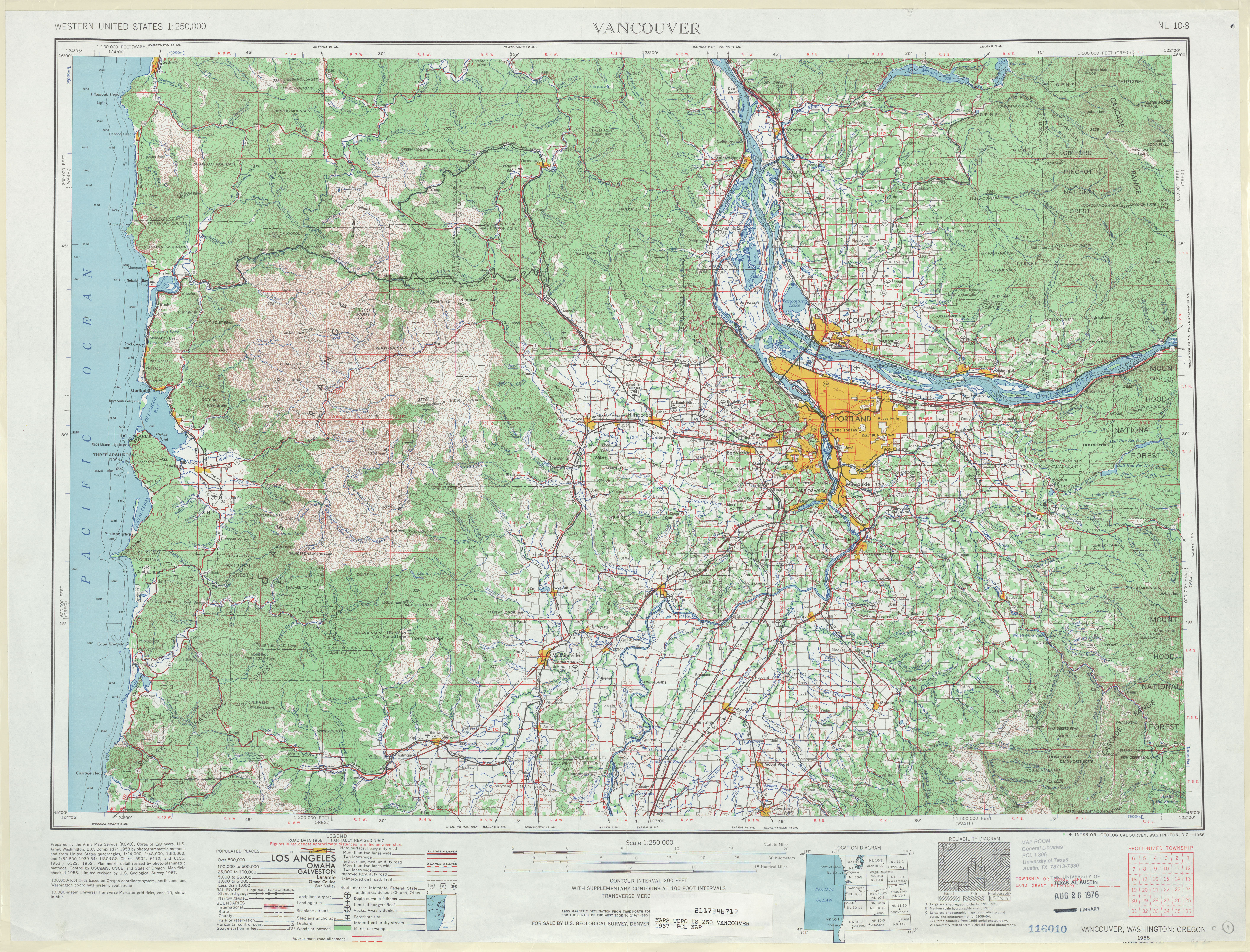
- ^ Vancouver, 1967 (JPG) (Map). 1:250,000. United States Geological Survey. 1967. Retrieved February 9, 2013.
- ^ "State roads opening". Ellensburg Daily Record. May 23, 1980. p. 3. Retrieved February 9, 2013.
- ^ a b Washington State Legislature (May 21, 1991). "Chapter 342: Engrossed Senate Bill 5801 - State Highway Routes -- Revisions To". Session Laws of the State of Washington (1991 ed.). Olympia, Washington: Washington State Legislature. Retrieved February 9, 2013.
- ^ "Resolution No. 692" (PDF). Washington State Transportation Commission. May 20, 2009. Retrieved February 9, 2013.
- ^ "Two Battle Ground highways are being renamed". KATU. June 1, 2009. Retrieved February 9, 2013.
- ^ Google (February 8, 2013). "State Route 503 Spur" (Map). Google Maps. Google. Retrieved February 8, 2013.
- ^ Mount St. Helens National Volcanic Monument (PDF) (Map). United States Forest Service, United States Department of Agriculture. June 2012. Retrieved February 9, 2013.
External links[edit]