Washington State Route 502
 From Wikipedia the free encyclopedia
State Route 502 | ||||
|---|---|---|---|---|
| Battle Ground Highway | ||||
 A map with SR 502 highlighted in red | ||||
| Route information | ||||
| Auxiliary route of I-5 | ||||
| Maintained by WSDOT | ||||
| Length | 6.12 mi[1] (9.85 km) | |||
| Existed | 1964[2]–present | |||
| Major junctions | ||||
| West end | ||||
| East end | ||||
| Location | ||||
| Country | United States | |||
| State | Washington | |||
| Counties | Clark | |||
| Highway system | ||||
| ||||

State Route 502 (SR 502, officially known as the Battle Ground Highway) is a 6.12-mile-long (9.85 km) state highway in the U.S. state of Washington, serving the city of Battle Ground in Clark County. The highway travels due east from an interchange with Interstate 5 (I-5) north of Mount Vista through Dollars Corner and Battle Ground to an intersection with SR 503, serving as connector between Battle Ground and I-5. Prior to the 1964 highway renumbering, SR 502 was part of Secondary State Highway 1S (SSH 1S), which was established in 1937. The highway traveled south from its current western terminus until the construction of a new interchange with I-5 in 2008, part of a project to widen SR 502 and install a median barrier on the roadway.
Route description[edit]

SR 502 begins as the four-lane Battle Ground Highway at exit 11 on I-5, a trumpet interchange located north of Mount Vista,[3] and travels due east as 219th Street, crossing Gee Creek and passing the northbound Gee Creek rest area.[4] The four-lane highway travels east through rural Clark County and the community of Dollars Corner before it enters the city of Battle Ground, where it becomes Main Street. SR 502 crosses over Mill Creek and travels through the city, ending at an intersection with SR 503 and Main Street.[1][5][6]
Every year, the Washington State Department of Transportation (WSDOT) conducts a series of surveys on its highways in the state to measure traffic volume. This is expressed in terms of annual average daily traffic (AADT), which is a measure of traffic volume for any average day of the year. In 2011, WSDOT calculated that between 8,200 and 26,000 vehicles per day used the highway, mostly within Battle Ground.[7] The entire route is designated as part of the National Highway System,[8] which includes roadways important to the national economy, defense, and mobility.[9]
History[edit]
SSH 1S was created in 1937 during the formation of the primary and secondary state highways,[10] traveling on a 57.60-mile-long (92.70 km) route east from Primary State Highway 1 (PSH 1) and U.S. Route 99 (US 99) north of Mount Vista to intersect SSH 1U in Battle Ground and turned north towards Amboy and west to end at PSH 1 and US 99 in Woodland.[11] After PSH 1 and US 99 was realigned onto a four-lane limited-access highway in the late 1940s, SSH 1S was extended south over the old highway to intersect PSH 1 and US 99.[12]
SR 502 was established during the 1964 highway renumbering and codified in 1970 as the successor to the Mount Vista–Battle Ground section of SSH 1S,[2] while US 99 was replaced by I-5.[13][14] WSDOT constructed a new interchange between I-5 and 219th Street between April 2007 and October 2008 at a cost of $52 million.[15][16] The new interchange and subsequent realignment shortened the total length of SR 502 by 1.46 miles (2.35 km),[17] however, the mileposts were not updated, as of 2011[update].[1] During construction of the interchange, WSDOT uncovered archaeological remains belonging to a Coast Salish settlement at Gee Creek that were at least 8,000 years old.[18] The entire highway was christened the "Battle Ground Highway" in May 2009 to signify the importance of SR 502 connecting the city of Battle Ground to I-5.[19][20]
WSDOT began preparing to install a median barrier and widen SR 502 to four lanes between the I-5 interchange and the western Battle Ground city limit in July 2012 to accommodate increasing traffic on the highway, which has a speed limit up to 50 miles per hour (80 km/h).[1] Construction for the $85 million project began in earnest in 2014.[21] New Mill Creek wetlands were created, to mitigate for wetlands buried by construction, which included the driving of 1,200 concrete pilings.[21] The new, four-lane highway, which includes 10-foot (3.0 m) shoulders for bicycle and pedestrian travel and traffic signals at major intersections, opened on June 27, 2016.[22][23] An expansion of the I-5 interchange to provide a western connection to Ridgefield was proposed in 2021.[24]
Major intersections[edit]
The entire highway is in Clark County.
| Location | mi[1] | km | Destinations | Notes | |
|---|---|---|---|---|---|
| | 0.00– 0.34 | 0.00– 0.55 | I-5 exit 11; western terminus, interchange | ||
| Battle Ground | 6.12 | 9.85 | Eastern terminus, continues as W Main Street | ||
| 1.000 mi = 1.609 km; 1.000 km = 0.621 mi | |||||
References[edit]
- ^ a b c d e Staff (2012). "State Highway Log: Planning Report 2011, SR 2 to SR 971" (PDF). Washington State Department of Transportation. pp. 1488–1490. Retrieved February 7, 2013.
- ^ a b "47.17.645: State route No. 502". Revised Code of Washington. Washington State Legislature. 1970. Retrieved February 7, 2013.
- ^ "SR 5 - Exit 11: Junction SR 502" (PDF). Washington State Department of Transportation. January 7, 2009. Retrieved February 7, 2013.
- ^ "Safety Rest Area Locations: I-5 - Gee Creek Northbound (MP 11)". Washington State Department of Transportation. Retrieved February 7, 2013.
- ^ "SR 502: Junction SR 503" (PDF). Washington State Department of Transportation. December 31, 1992. Retrieved February 7, 2013.
- ^ Google (February 7, 2013). "State Route 502" (Map). Google Maps. Google. Retrieved February 7, 2013.
- ^ Staff (2011). "2011 Annual Traffic Report" (PDF). Washington State Department of Transportation. p. 185. Retrieved February 7, 2013.
- ^ National Highway System: Portland, OR--WA (PDF) (Map). Federal Highway Administration. October 1, 2012. Retrieved February 8, 2013.
- ^ "What is the National Highway System?". Federal Highway Administration. September 26, 2012. Retrieved February 8, 2013.
- ^ Washington State Legislature (March 18, 1937). "Chapter 207: Classification of Public Highways". Session Laws of the State of Washington (1937 ed.). Olympia, Washington: Washington State Legislature. p. 997. Retrieved February 7, 2013.
(r) Secondary State Highway No. 1S; beginning at a junction with Primary State Highway No. 1 in the vicinity north of Woodland, thence in an easterly direction by the most feasible route to Amboy, thence in a southerly direction by the most feasible route to Battleground, thence in a westerly direction by the most feasible route to a junction with Primary State Highway No. 1 in the vicinity north of Vancouver.
- ^ Staff (1960). "Annual Traffic Report, 1960" (PDF). Washington State Highway Commission, Department of Highways. pp. 160–161. Archived from the original (PDF) on March 13, 2011. Retrieved February 7, 2013.
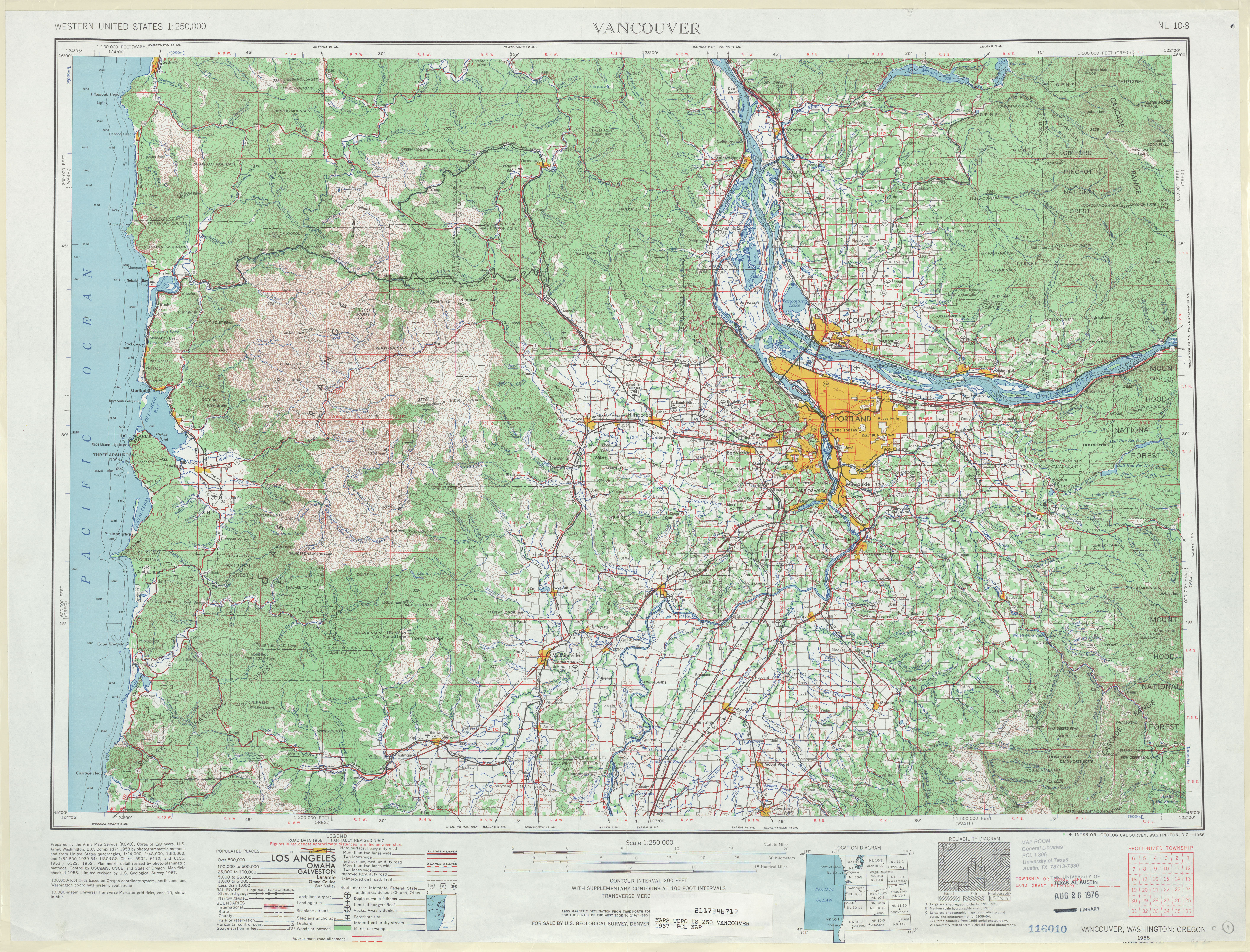
- ^ Vancouver, 1949 (JPG) (Map). 1:250,000. United States Geological Survey. 1949. Retrieved February 7, 2013.
- ^ Prahl, C. G. (December 1, 1965). "Identification of State Highways" (PDF). Washington State Highway Commission, Department of Highways. Retrieved February 7, 2013.
- ^ Vancouver, 1967 (JPG) (Map). 1:250,000. United States Geological Survey. 1967. Retrieved February 7, 2013.
- ^ Tams, Chris (October 2008). "I-5 - SR 502 - Interchange - Complete October 2008". Washington State Department of Transportation. Retrieved February 7, 2013.
- ^ Meunier, Andre (October 13, 2008). "I-5 interchange for Battle Ground access to open Wednesday". The Oregonian. Retrieved February 7, 2013.
- ^ Staff (2008). "State Highway Log: Planning Report 2008, SR 2 to SR 971" (PDF). Washington State Department of Transportation. p. 5. Retrieved February 7, 2013.
- ^ "Gee Creek Archaeological Sites - Introduction". Washington State Department of Transportation. October 2008. Retrieved February 7, 2013.
- ^ "Resolution No. 692" (PDF). Washington State Transportation Commission. May 20, 2009. Retrieved February 7, 2013.
- ^ "Two Battle Ground highways are being renamed". KATU. June 1, 2009. Retrieved February 7, 2013.
- ^ a b Florip, Eric (July 7, 2014). "New Highway 502 taking shape: Long-in-the-works project will widen well-traveled corridor". The Columbian. Retrieved July 8, 2014.
- ^ Tams, Chris. "SR 502 - Widening From I-5 to Battle Ground". Washington State Department of Transportation. Retrieved February 7, 2013.
- ^ Littman, Adam (June 27, 2016). "Ribbon cutting celebrates Highway 502 improvements, widening". The Columbian. Retrieved June 28, 2016.
- ^ Macuk, Anthony (March 26, 2021). "Ridgefield plans second connection to I-5". The Columbian. Retrieved October 28, 2021.
External links[edit]