File:Twitter TT.PNG
 From Wikipedia the free encyclopedia
Size of this preview: 800 × 362 pixels. Other resolutions: 320 × 145 pixels | 640 × 290 pixels | 1,024 × 463 pixels | 1,280 × 579 pixels | 2,644 × 1,196 pixels.
Original file (2,644 × 1,196 pixels, file size: 103 KB, MIME type: image/png)
| This is a file from the Wikimedia Commons. Information from its description page there is shown below. Commons is a freely licensed media file repository. You can help. |
 | This map image could be re-created using vector graphics as an SVG file. This has several advantages; see Commons:Media for cleanup for more information. If an SVG form of this image is available, please upload it and afterwards replace this template with {{vector version available|new image name}}. It is recommended to name the SVG file “Twitter TT.svg”—then the template Vector version available (or Vva) does not need the new image name parameter. |
Summary
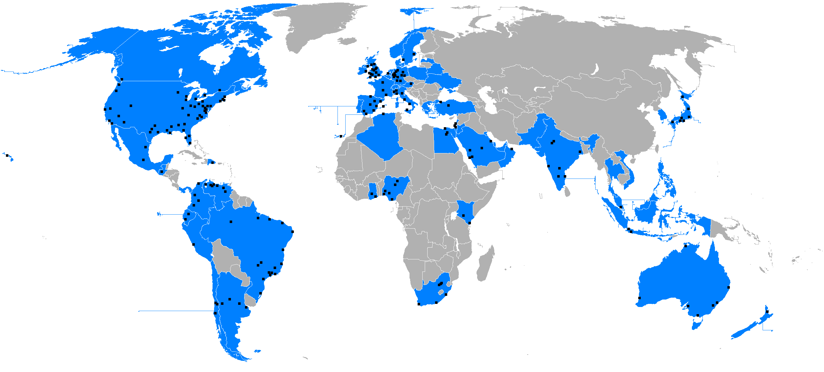
| Description | Español: Países con temas del momento independientes en la red social Twitter. |
| Date | |
| Source | Own work |
| Author | Fobos92 This raster image was created with Microsoft Paint. |
| | This map image could be re-created using vector graphics as an SVG file. This has several advantages; see Commons:Media for cleanup for more information. If an SVG form of this image is available, please upload it and afterwards replace this template with {{vector version available|new image name}}. It is recommended to name the SVG file “Twitter TT.svg”—then the template Vector version available (or Vva) does not need the new image name parameter. |
Licensing
I, the copyright holder of this work, hereby publish it under the following license:
This file is licensed under the Creative Commons Attribution-Share Alike 3.0 Unported license.
- You are free:
- to share – to copy, distribute and transmit the work
- to remix – to adapt the work
- Under the following conditions:
- attribution – You must give appropriate credit, provide a link to the license, and indicate if changes were made. You may do so in any reasonable manner, but not in any way that suggests the licensor endorses you or your use.
- share alike – If you remix, transform, or build upon the material, you must distribute your contributions under the same or compatible license as the original.
File history
Click on a date/time to view the file as it appeared at that time.
| Date/Time | Thumbnail | Dimensions | User | Comment | |
|---|---|---|---|---|---|
| current | 10:03, 11 April 2022 | | 2,644 × 1,196 (103 KB) | Maphobbyist | Twitter closed its offices in Russia, and also has been blocked in Russia. |
| 00:14, 20 June 2015 |  | 2,644 × 1,196 (85 KB) | Sfs90 | Update | |
| 17:14, 4 June 2013 |  | 2,644 × 1,196 (83 KB) | Sfs90 | Corregidos TTs de Chile | |
| 17:08, 4 June 2013 |  | 2,644 × 1,196 (83 KB) | Sfs90 | Actualización de países con TT | |
| 16:18, 3 June 2013 |  | 2,644 × 1,196 (83 KB) | Sfs90 | Corregida posición de Concepción (Chile) y añadidos Santiago de Chile y Valparaíso | |
| 15:58, 29 December 2012 |  | 2,644 × 1,196 (98 KB) | Donperfectodewiki | Añadidos TT de Sevilla, Zaragoza, Valencia y Málaga | |
| 22:40, 5 July 2012 |  | 2,644 × 1,196 (141 KB) | Fobos92 | . | |
| 04:50, 6 March 2012 |  | 2,644 × 1,196 (140 KB) | Fobos92 | Incluidas las ciudades con TT independienetes. | |
| 17:17, 28 January 2012 |  | 2,644 × 1,196 (139 KB) | Fobos92 |
File usage
The following pages on the English Wikipedia use this file (pages on other projects are not listed):
Global file usage
The following other wikis use this file:
- Usage on ar.wikipedia.org
- Usage on az.wikipedia.org
- Usage on bn.wikipedia.org
- Usage on ca.wikipedia.org
- Usage on es.wikipedia.org
- Usage on fr.wikipedia.org
- Usage on hy.wikipedia.org
- Usage on id.wikipedia.org
- Usage on it.wikipedia.org
- Usage on ja.wikipedia.org
- Usage on kbp.wikipedia.org
- Usage on la.wikipedia.org
- Usage on pt.wikipedia.org
- Usage on tr.wikipedia.org
- Usage on zh.wikipedia.org