File:Telangana locator map.svg
 From Wikipedia the free encyclopedia

Original file (SVG file, nominally 537 × 508 pixels, file size: 1.82 MB)
| This is a file from the Wikimedia Commons. Information from its description page there is shown below. Commons is a freely licensed media file repository. You can help. |
Summary
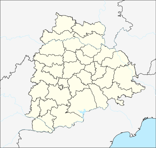
| Description | English: Telangana place locator తెలుగు: తెలంగాణ ప్రదేశ సూచికా పటము |
| Date | |
| Source | Own work, File updated to reflect border changes of Telangana. Projection: Equi Rectangular Plate Carree for TG Extent: -180.00, -90.00, 180.00, 90.00 Proj4: +proj=eqc +lat_ts=0 +lat_0=17.840669 +lon_0=79.048467E +x_0=0 +y_0=0 +datum=WGS84 +units=m +no_defs Extents Top 20.334882 Bottom: 15.346458 Left: 76.408599 Right:81.688339 Interior District borders are raster from http://tracgis.telangana.gov.in/districtformation/districtformation/default.aspx Processed using QGIS 3.6 and Inkscape 0.92 on Ubuntu 18.04 For the template used for locating, please see https://te.wikipedia.org/wiki/Template:Telangana_locator_map |
| Author | The original uploader was Arjunaraoc at Telugu Wikipedia. |
| SVG development |
Licensing
- You are free:
- to share – to copy, distribute and transmit the work
- to remix – to adapt the work
- Under the following conditions:
- attribution – You must give appropriate credit, provide a link to the license, and indicate if changes were made. You may do so in any reasonable manner, but not in any way that suggests the licensor endorses you or your use.
- share alike – If you remix, transform, or build upon the material, you must distribute your contributions under the same or compatible license as the original.
Original upload log
| Date/Time | Dimensions | User | Comment |
|---|---|---|---|
| 2015-05-05 05:53 | 512×450× (581780 bytes) | Arjunaraoc | Equi rectangular projection of Telangana based on 1) India State and District maps from http://mnre.gov.in/sec/solar-assmnt.htm, [http://mnre.gov.in/copyright-policy copyright policy free for any use with attribution] accessed 2015-03-19) 3)River shape... |
| 2015-03-18 11:34 | 1070×740× (434459 bytes) | Arjunaraoc | [[వికీపీడియా:ఫైల్_ఎక్కింపు_విజర్డు|ఫైల్ ఎక్కింపు విజర్డు-]] ముద్రితమైన ఉచిత మూలంనుండి ఒక ఫైల్ |
File history
Click on a date/time to view the file as it appeared at that time.
| Date/Time | Thumbnail | Dimensions | User | Comment | |
|---|---|---|---|---|---|
| current | 05:16, 6 July 2020 | | 537 × 508 (1.82 MB) | Arjunaraoc | Reverted to version as of 11:00, 17 April 2019 (UTC) |
| 05:41, 28 June 2020 |  | 443 × 443 (227 KB) | C1MM | Fixed Krishna river delta | |
| 19:49, 3 June 2020 |  | 443 × 443 (227 KB) | C1MM | Increased district boundary size, fixed unjoined district boundary | |
| 03:49, 5 May 2020 |  | 443 × 443 (229 KB) | C1MM | Fixed colors | |
| 19:10, 22 April 2020 |  | 443 × 443 (229 KB) | C1MM | Fixed border colors | |
| 17:10, 16 April 2020 |  | 443 × 443 (229 KB) | C1MM | Changed colors and boundaries to be smaller | |
| 22:04, 14 April 2020 |  | 537 × 508 (242 KB) | C1MM | Made lake standard | |
| 05:44, 12 April 2020 |  | 537 × 508 (242 KB) | C1MM | Changed district boundaries and re-did layering | |
| 14:34, 22 March 2020 |  | 537 × 508 (1.81 MB) | C1MM | Added standard colors and made borders prominent | |
| 11:00, 17 April 2019 |  | 537 × 508 (1.82 MB) | Arjunaraoc | Updated with Telangana districts as vector layer |
File usage
Global file usage
The following other wikis use this file:
- Usage on azb.wikipedia.org
- حئیدرآباد (هیندوستان)
- علیآباد، رنقا ردی
- عبداللهپور
- عالمپور، محبوبنقار
- معینآباد، مندال
- ونوقوپالپورام
- وانام واری کریشناپورام
- ساتیانارایاناپورام
- ساروپالی, نالقوندا دیستریکت
- ساروارام
- سارانقاپور, جاقتیال دیستریکت
- مدارام
- سانقام, وارانقال دیستریکت
- کالشوارام
- مارور, نالقوندا دیستریکت
- ونکپالی
- ماریقودم
- ماریقودا
- مارپال
- مارکوک, تلانقانا
- ماریپدا
- ولولا (هیندوستان)
- کایسارام
- ولماکان
- ولقاتور
- ولپور (هیندوستان)
- واسانتاپورام
- وارشاکوندا
- سایداپور
- مانواریپامپو
- کادتال
- موست آباد
- کاداورقو
- شامش آباد
- سولیپور
- کاداپارتی
- رودرارام
- مانقاپت
- مانقالپالی, نالقوندا دیستریکت
- مانقالاقودم
- کئی. آر. پورام (تلانقانا)
- جوکال, ایندیا
- ماندالاپورام
- آنانتارام, نالقوندا ماندال
- آنانتارام, مداک دیستریکت
- آنانتارام, شامیرپت ماندال
- آنانتارام, بونجیر ماندال
- رمیدیچرلا
- آناجپور
- جینارام
View more global usage of this file.