File:Bay Islands - Roatan.PNG
 From Wikipedia the free encyclopedia
No higher resolution available.
Bay_Islands_-_Roatan.PNG (566 × 483 pixels, file size: 39 KB, MIME type: image/png)
| This is a file from the Wikimedia Commons. Information from its description page there is shown below. Commons is a freely licensed media file repository. You can help. |
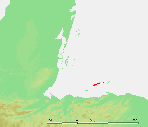
| Description | bay islands, Honduras | ||||
| Source | own work based on PD map | ||||
| Author | edited by M.Minderhoud | ||||
| Permission (Reusing this file) |
|
File history
Click on a date/time to view the file as it appeared at that time.
| Date/Time | Thumbnail | Dimensions | User | Comment | |
|---|---|---|---|---|---|
| current | 15:45, 6 August 2006 | | 566 × 483 (39 KB) | Michiel1972 | {{Information |Description=bay islands, Honduras |Source= own work based on PD map |Date= |Author= edited by M.Minderhoud |Permission= {{PD-Demis}} |other_versions= }} category:Locator maps of islands |
File usage
The following pages on the English Wikipedia use this file (pages on other projects are not listed):
Global file usage
The following other wikis use this file:
- Usage on es.wikipedia.org
- Usage on it.wikipedia.org
- Usage on it.wikivoyage.org
- Usage on ja.wikipedia.org
- Usage on nl.wikipedia.org
- Usage on pl.wikipedia.org
- Usage on pt.wikipedia.org
- Usage on zh.wikipedia.org