File:1920 Gansu earthquake.svg
 From Wikipedia the free encyclopedia

Size of this PNG preview of this SVG file: 740 × 599 pixels. Other resolutions: 296 × 240 pixels | 593 × 480 pixels | 948 × 768 pixels | 1,264 × 1,024 pixels | 2,529 × 2,048 pixels | 1,000 × 810 pixels.
Original file (SVG file, nominally 1,000 × 810 pixels, file size: 245 KB)
| This is a file from the Wikimedia Commons. Information from its description page there is shown below. Commons is a freely licensed media file repository. You can help. |
Summary
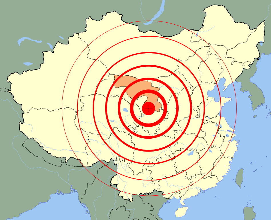
| Description | Deutsch: Lage des Epizentrums des Erdbebens von Haiyuan 1920 English: A map of 1920 Gansu earthquake. 中文(简体):1920年海原大地震示意图。 中文(繁體):1920年海源大地震示意圖。 |
| Date | |
| Source | Own work (Original text: self-made;) Image:China blank map (1936).svg. |
| Author | User:PhiLiP |
| Other versions |
|
.svg)
Licensing
| I, the copyright holder of this work, release this work into the public domain. This applies worldwide. In some countries this may not be legally possible; if so: I grant anyone the right to use this work for any purpose, without any conditions, unless such conditions are required by law. |
File history
Click on a date/time to view the file as it appeared at that time.
| Date/Time | Thumbnail | Dimensions | User | Comment | |
|---|---|---|---|---|---|
| current | 09:59, 31 May 2008 | | 1,000 × 810 (245 KB) | PhiLiP | correction |
| 09:48, 31 May 2008 |  | 1,000 × 810 (245 KB) | PhiLiP | {{Information |Description={{en|1=A map of 1920 Gansu earthquake.}} {{zh-hans|1=1920年海原大地震示意图。}} {{zh-hant|1=1920年海源大地震示意圖。}} |Source=self-made; Image:China blank map (1936).svg. |Author=User:PhiLiP |Date=2 |
.svg)
File usage
The following pages on the English Wikipedia use this file (pages on other projects are not listed):
Global file usage
The following other wikis use this file:
- Usage on de.wikipedia.org
- Usage on de.wikibooks.org
- Usage on fi.wikipedia.org
- Usage on fr.wikipedia.org
- Usage on id.wikipedia.org
- Usage on ja.wikipedia.org
- Usage on ko.wikipedia.org
- Usage on sco.wikipedia.org
- Usage on simple.wikipedia.org
- Usage on ur.wikipedia.org
- Usage on vi.wikipedia.org
- Usage on zh.wikipedia.org