File:1880 Boston railroads map.jpg
 From Wikipedia the free encyclopedia

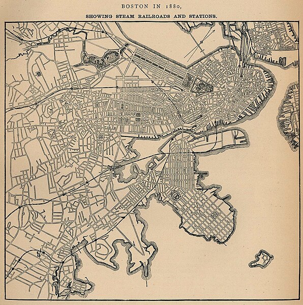
Size of this preview: 596 × 599 pixels. Other resolutions: 239 × 240 pixels | 478 × 480 pixels | 764 × 768 pixels | 1,019 × 1,024 pixels | 1,546 × 1,554 pixels.
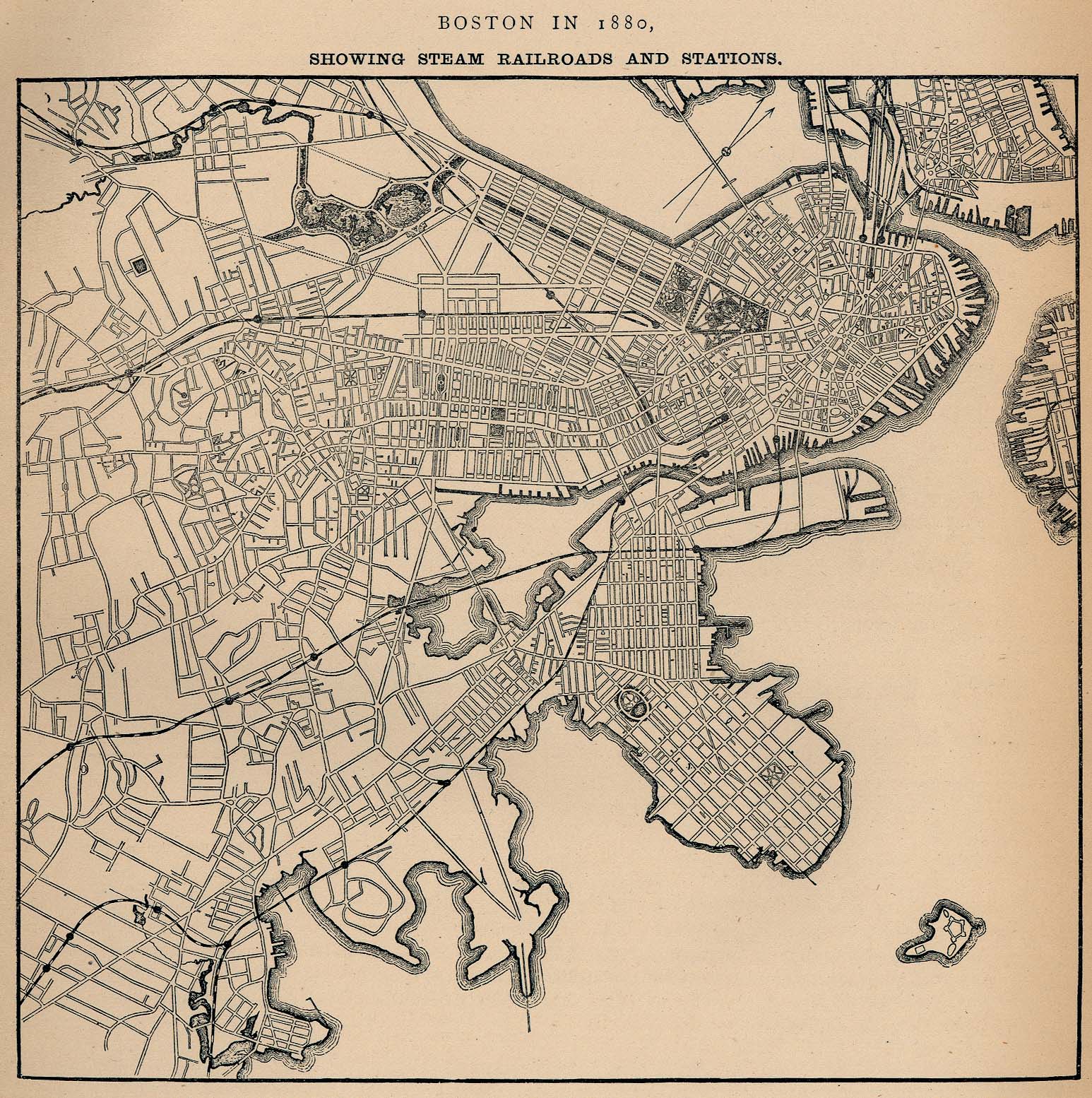
Original file (1,546 × 1,554 pixels, file size: 654 KB, MIME type: image/jpeg)
| This is a file from the Wikimedia Commons. Information from its description page there is shown below. Commons is a freely licensed media file repository. You can help. |
Summary
| Description | English: Map of Boston in 1880, highlighting railroads and railroad stations. |
| Date | |
| Source | University of Texas Library |
| Author | Unknown author |
This work is in the public domain in the United States because it was published (or registered with the U.S. Copyright Office) before January 1, 1929. Public domain works must be out of copyright in both the United States and in the source country of the work in order to be hosted on the Commons. If the work is not a U.S. work, the file must have an additional copyright tag indicating the copyright status in the source country. Note: This tag should not be used for sound recordings. |
File history
Click on a date/time to view the file as it appeared at that time.
| Date/Time | Thumbnail | Dimensions | User | Comment | |
|---|---|---|---|---|---|
| current | 19:39, 30 September 2006 | | 1,546 × 1,554 (654 KB) | Beland | Map of Boston in 1880, highlighting railroads and railroad stations. * Source: http://www.lib.utexas.edu/maps/historical/boston_railroad_1880.jpg * License: Public domain according to http://www.lib.utexas.edu/usage_statement.html?maps=yes |
File usage
The following pages on the English Wikipedia use this file (pages on other projects are not listed):
Global file usage
The following other wikis use this file:
- Usage on ar.wikipedia.org
- Usage on de.wikipedia.org
- Usage on fr.wikipedia.org
- Usage on id.wikipedia.org
- Usage on ko.wikipedia.org
- Usage on ru.wikipedia.org
- Usage on uk.wikipedia.org
- Usage on uz.wikipedia.org
- Usage on zh.wikipedia.org