Файл:Carte antilles 1843.jpg


Оригинален файл (2850 × 2043 пиксела, големина на файла: 2,59 МБ, MIME-тип: image/jpeg)
| Този файл е от Общомедия и може да се използва от други проекти. Следва информация за файла, достъпна през оригиналната му описателна страница. |
Резюме
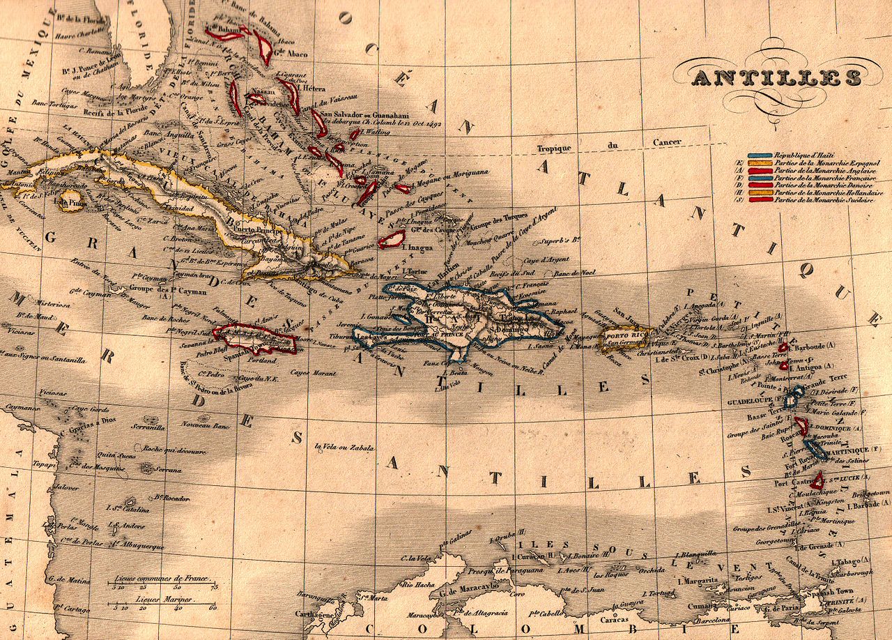
| Описание | Français : Carte géographique ancienne des Antilles (wp-FR) avec noms en français dressée par le géographe Alexandre Vuillemin en 1843 extraite de son “Atlas universel de géographie ancienne et moderne à l'usage des pensionnats”. Le titre original de cette carte est “Antilles”. Cet atlas était initialement monochrome mais son premier propriétaire a réhaussé manuellement en couleur les frontières ou limites administratives. |
| Дата | |
| Източник | |
| Автор | Alexandre Vuillemin (reproduit par histoirepostale.net) |
Лицензиране
This image is in the public domain because it is a mere mechanical scan or photocopy of a public domain original, or – from the available evidence – is so similar to such a scan or photocopy that no copyright protection can be expected to arise. The original itself is in the public domain for the following reason:
This tag is designed for use where there may be a need to assert that any enhancements (eg brightness, contrast, colour-matching, sharpening) are in themselves insufficiently creative to generate a new copyright. It can be used where it is unknown whether any enhancements have been made, as well as when the enhancements are clear but insufficient. For known raw unenhanced scans you can use an appropriate {{PD-old}} tag instead. For usage, see Commons:When to use the PD-scan tag.  | ||||
История на файла
Избирането на дата/час ще покаже как е изглеждал файлът към онзи момент.
| Дата/Час | Миникартинка | Размер | Потребител | Коментар | |
|---|---|---|---|---|---|
| текуща | 15:14, 25 ноември 2007 | | 2850 × 2043 (2,59 МБ) | Dlebouc | == Description == {{Information |Description= {{fr|Carte géographique ancienne des '''Antilles''' (wp-FR) avec noms en français dressée par le géographe Alexandre Vuillemin en 1843 extraite de son “Atlas universel de géographie an |
Използване на файла
Следната страница използва следния файл:
Глобално използване на файл
Този файл се използва от следните други уикита:
- Употреба в af.wikipedia.org
- Употреба в ast.wikipedia.org
- Употреба в ba.wikipedia.org
- Употреба в be.wikipedia.org
- Употреба в br.wikipedia.org
- Употреба в ca.wikipedia.org
- Употреба в en.wikipedia.org
- Употреба в es.wikipedia.org
- Употреба в eu.wikipedia.org
- Употреба в fa.wikipedia.org
- Употреба в fr.wikipedia.org
- Употреба в fy.wikipedia.org
- Употреба в gcr.wikipedia.org
- Употреба в gl.wiktionary.org
- Употреба в hy.wikipedia.org
- Употреба в lv.wikipedia.org
- Употреба в pl.wikipedia.org
- Употреба в pl.wiktionary.org
- Употреба в pnb.wikipedia.org
- Употреба в pt.wikipedia.org
- Употреба в pt.wikibooks.org
- Употреба в ru.wikipedia.org
- Употреба в uk.wikipedia.org
- Употреба в ur.wikipedia.org